
AI Drone Editing Software: How AI Is Changing Aerial Photography
AI drone editing software is making it easier to transform aerial photographs without spending hours on manual editing. From enhancing images and changing lighting to adding property boundaries and locations, AI can speed up the entire drone photography workflow.
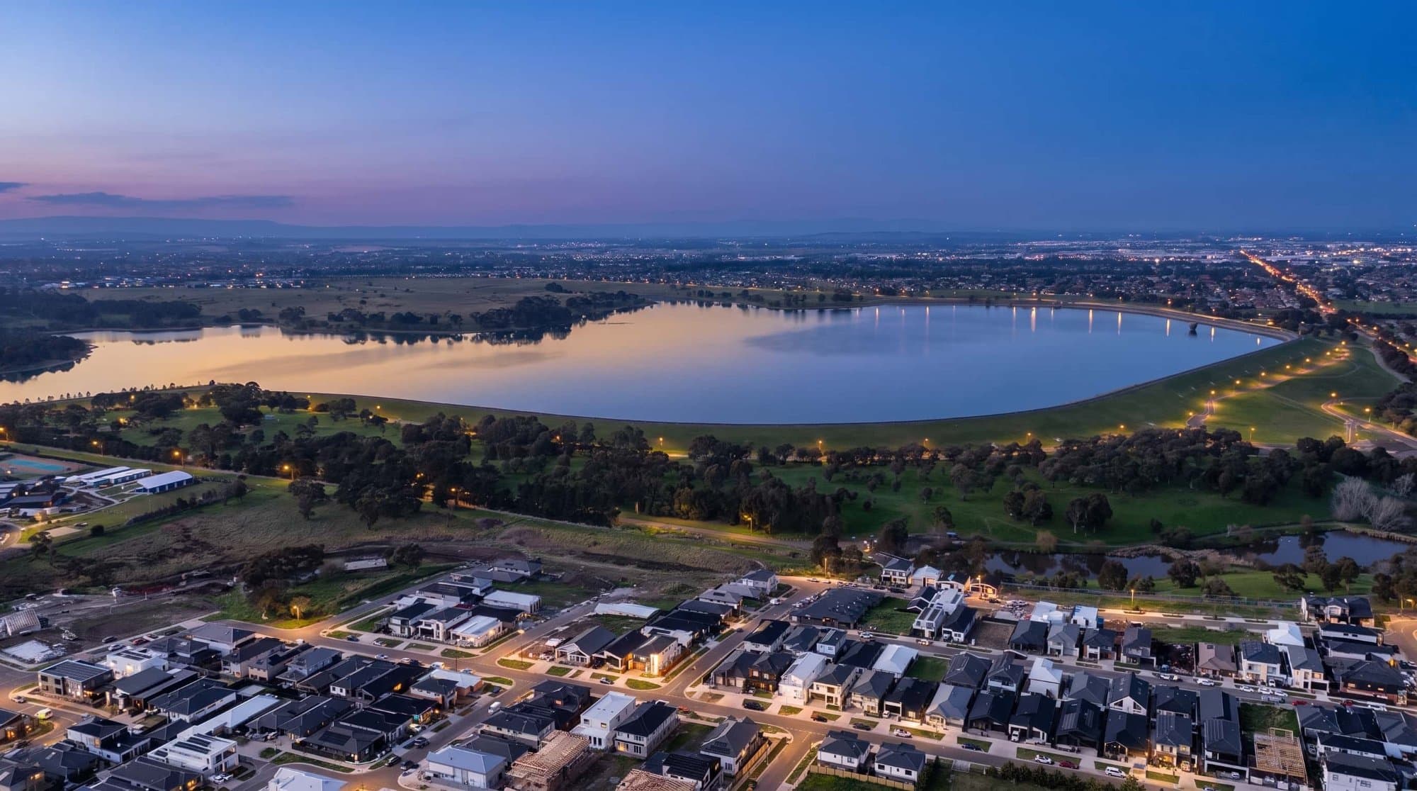
Drone photography has traditionally involved a lot of manual work.
You capture the images, download them, correct the exposure, adjust the colours, remove distractions and then prepare them for delivery.
For real estate photographers, there's often another step after that: turning the aerial photo into a marketing graphic.
This is where AI drone editing software is becoming increasingly useful.
What Can AI Do With a Drone Photo?
AI can handle much more than simply increasing the brightness of an image.
Depending on the software you're using, AI can help with:
- Sky replacement
- Twilight transformations
- Image enhancement
- Object removal
- Lighting adjustments
- Colour improvements
- Image restyling
- Property annotation
- Location identification
- Automated placement of graphics
The biggest advantage is speed.
Tasks that previously required several editing steps can often be completed with a few clicks.
AI Twilight Editing for Drone Photography
One of the most useful applications for real estate photographers is changing the time of day.
A daytime aerial photograph can be transformed into a warm twilight scene with:
- A darker evening sky
- Warmer lighting
- Illuminated windows
- Subtle sunset colours
- Evening atmosphere
The important part is preserving the actual property.
The house, driveway, pool, landscaping and surrounding roads should remain consistent with the original photograph.
A good AI edit changes the lighting and atmosphere, not the property itself.
AI Sky Replacement
The sky can have a huge impact on an aerial photograph.
A grey or overcast sky can make an otherwise great property look flat.
AI editing tools can replace the sky with a clearer blue sky or a more dramatic sunset while attempting to preserve the buildings and landscape below.
For real estate photography, subtlety is important.
A natural blue sky will usually look more professional than an obviously artificial one.
AI Image Restyling
AI can also be used to create different visual versions of the same drone photograph.
For example, you might create:
Original daytime
Bright blue sky
Golden hour
Twilight
This gives photographers more options when creating marketing content from a single aerial shoot.
AI Property Annotation
AI isn't only useful for changing how the photograph looks.
It can also help understand what's actually inside the photograph.
This is where AerialPin comes in.
AerialPin is a drone image annotation tool designed specifically for aerial property photography.
Instead of manually building every aerial marketing graphic, photographers can use AerialPin to add property boundaries, labels and nearby points of interest.
AI Auto Place for Drone Images
One of the more difficult parts of aerial annotation is figuring out which nearby locations are actually visible in the photograph.
AerialPin's AI Auto Place is designed to automate this process.
It can use information available in compatible drone photographs, such as GPS location, altitude, compass direction and camera angle, to help determine which nearby points of interest could appear within the image.
The software can then place those locations onto the aerial photograph.
You can review the result and make adjustments before exporting.
This can save a lot of time when creating location-based marketing visuals.
AI + Real Estate Drone Photography
This combination is particularly interesting for real estate photographers.
Instead of delivering a basic drone photograph, you can create an image that communicates much more.
For example:
Property boundary
↓
Property spotlight
↓
Nearby school
↓
Local shopping centre
↓
Train station
All of this information can be presented directly on the aerial photograph.
The image becomes more than photography.
It becomes a visual marketing tool.
Does AI Replace Professional Drone Photographers?
Not really.
AI can make the editing process faster, but it doesn't replace the importance of capturing a good photograph in the first place.
You still need to choose the right angle, composition, altitude and lighting.
The quality of the original drone image has a major impact on the final result.
AI works best as part of the workflow rather than as a replacement for the photographer.
A Modern AI Drone Editing Workflow
A real estate photographer could now have a workflow like:
Capture
Shoot the property with the drone.
Enhance
Correct the original photograph and improve the image.
AI Edit
Create a different sky, lighting condition or twilight version when needed.
Annotate
Use AerialPin to add the property boundary and other information.
AI Auto Place
Automatically position relevant nearby locations.
Export
Deliver the finished aerial marketing visual.
The entire process can be significantly faster than manually creating every element.
Why This Matters for Real Estate Photographers
Real estate photographers are under constant pressure to deliver more content.
Agents want high-quality photos, video, reels, floor plans, drone photography and social media assets.
AI can help photographers produce more without necessarily adding hours of additional editing.
The photographers who make the most of these tools aren't necessarily replacing their existing workflow.
They're removing the repetitive parts.
The Future of Drone Image Editing
AI is making aerial photography much more interactive.
We're moving from simply capturing a photograph to understanding what's inside the photograph and using that information to create new marketing content.
For real estate, that could mean:
Better-looking aerial photos.
Faster editing.
Automatic property annotations.
Smarter location information.
More marketing content from every flight.
Tools like AerialPin are part of that shift, giving real estate photographers a way to combine aerial photography, annotation and AI-powered workflows in one place.
The drone captures the property.
AI helps turn the photograph into the marketing asset.