
How to Add Annotations to 360 Panorama Images
Learn how to annotate 360 panorama images with text, labels, location pins, measurements and property information using a browser-based workflow.
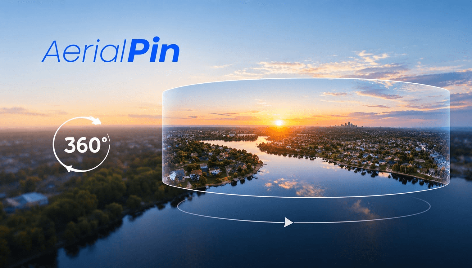
A 360 panorama provides a wide view of a property and its surroundings. Adding annotations can make that view much more useful.
Instead of showing an unlabelled panorama, you can add information directly to the image.
What Can You Add?
Depending on your annotation workflow, you can add:
- Text
- Location pins
- Labels
- Distance measurements
- Property boundaries
- Points of interest
Annotating a 360 Panorama
Start by opening your panorama in a 360 viewer.
Identify the information you want to add and place your annotations at the appropriate locations.
AerialPin has a beta 360 panorama feature that allows users to stitch multiple drone images into a panorama and annotate the result using a 360 panorama viewer.
Keep the Panorama Clean
The best annotations provide useful information without covering the scene.
Use short labels and only highlight the locations that matter.
Real Estate Applications
Annotated 360 panoramas can be useful for:
- Property marketing
- Development sites
- Land sales
- Acreage
- Construction progress
- Site presentations
Final Thoughts
360 panorama annotation turns a passive aerial image into a more informative visual experience.
By adding only the information that matters, you can make the panorama easier to understand without overwhelming the viewer.