
How to Add Labels to 360 Panorama Images
Learn how to label 360 panorama images with clear location names, property information and points of interest for real estate and aerial photography.
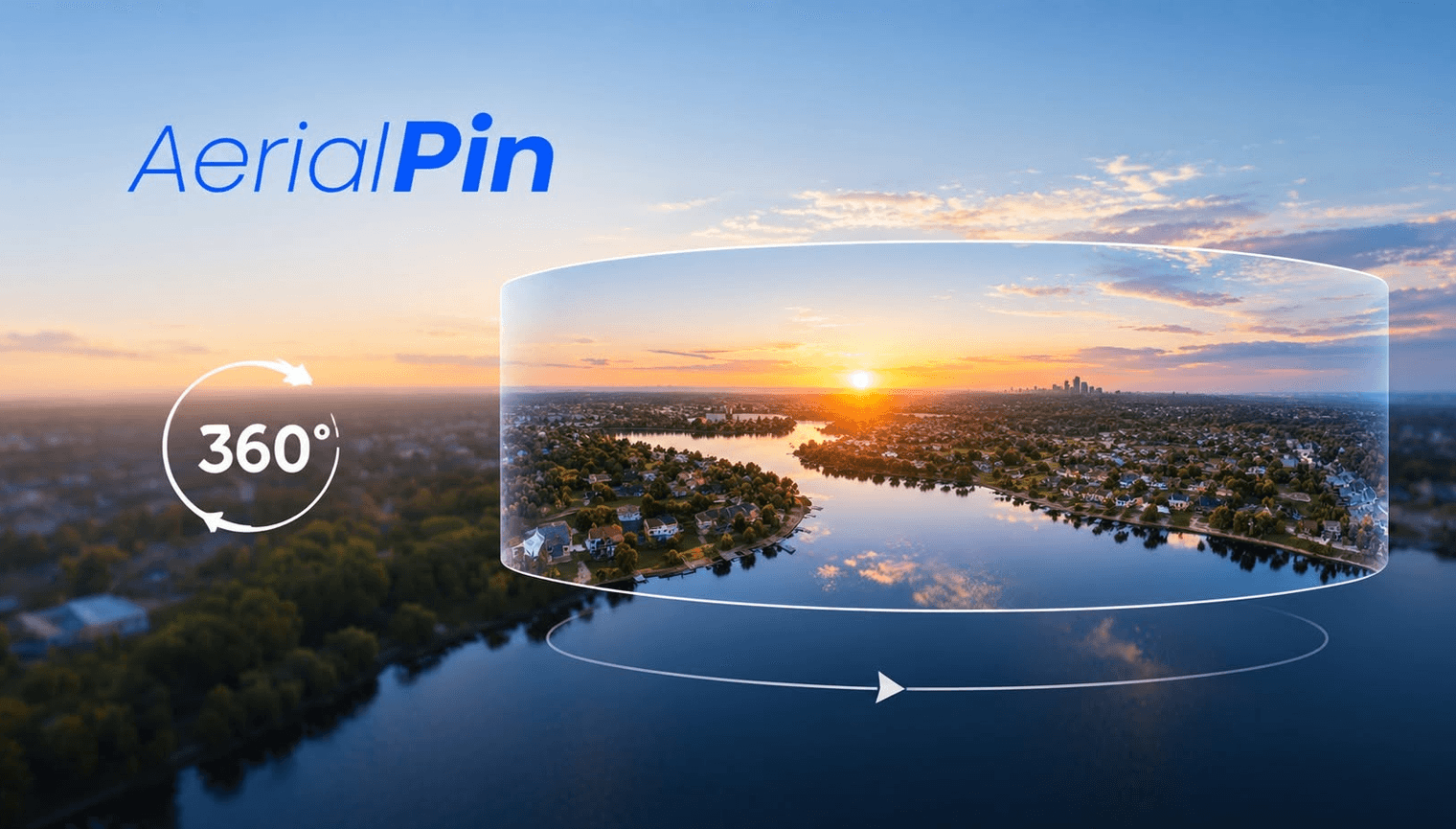
A 360 panorama can show an enormous amount of information, but viewers don't always know what they're looking at.
Adding labels can make the panorama easier to understand by identifying important locations and features.
Useful 360 Panorama Labels
You can label:
- Parks
- Roads
- Schools
- Shops
- Buildings
- Properties
- Development areas
- Access roads
- Beaches
- Landmarks
How to Label a 360 Panorama
Open the panorama in a 360 annotation tool.
Choose the area you want to identify and add a short label.
Position the label carefully so it remains clear while viewing the panorama.
AerialPin includes 360 panorama annotation as part of its beta 360 workflow.
Use Labels for Real Estate
Real estate photographers can use labels to highlight the surroundings of a property.
For example:
LOCAL PARK
SHOPPING CENTRE
TRAIN STATION
MAIN ROAD
This gives potential buyers more context than an unannotated panorama.
Don't Overdo It
Too many labels can make a 360 image difficult to view.
Focus on the locations that actually matter.
A small number of clear labels will usually communicate more effectively than dozens of annotations.
Final Thoughts
Labels are a simple addition that can make a 360 aerial panorama much more useful for property marketing and development presentations.