
How to Add Location Pins to 360 Images
Learn how to add location pins to 360 images and highlight nearby parks, roads, schools, shops and other important points of interest.
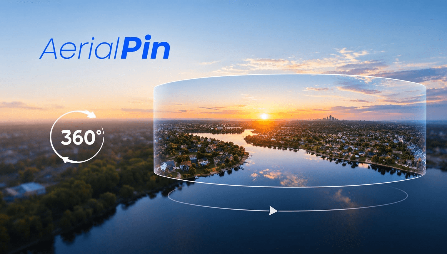
Location pins are a simple way to identify important places inside a 360 image.
For aerial real estate photography, pins can help viewers understand what's around a property without needing to leave the image.
What Can You Pin?
You can highlight:
- Parks
- Schools
- Shops
- Roads
- Beaches
- Train stations
- Sporting facilities
- Development sites
- Property locations
Adding Pins to a 360 Image
Open your panorama in a 360 annotation tool and select the location pin option.
Place the pin at the relevant location and add a short description if needed.
AerialPin provides tools for adding locations to aerial photography and has a beta 360 panorama annotation workflow.
Find Nearby Places
Finding locations manually can take time.
AerialPin Nearby Search can help identify nearby places around an aerial image.
For supported aerial images, AI Auto Place can also help automatically place relevant nearby locations using image and location information.
Final Thoughts
Location pins can turn a 360 aerial image into an interactive visual guide to a property and its surroundings.