
How to Add Location Pins to a 360 Image
Learn how to add interactive location pins to 360 images and turn your drone panoramas into more informative property marketing tools. See how AerialPin lets you annotate 360 panoramas with points of interest, property boundaries, nearby locations and custom information.
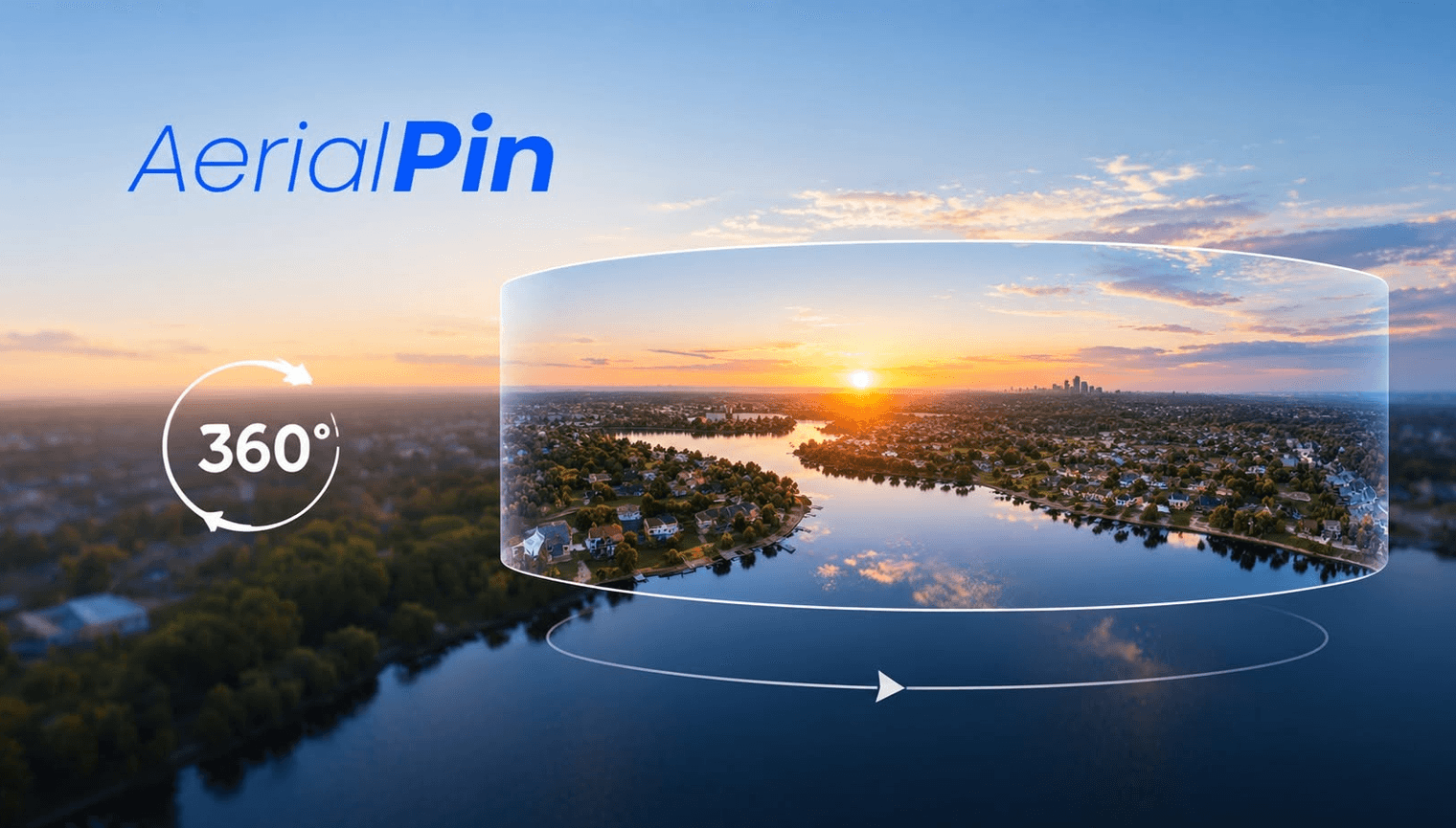
A 360 image gives viewers the ability to look around an entire scene, but adding location pins can make it much more useful.
Instead of simply exploring the image, viewers can see exactly what they're looking at and identify important locations around a property.
This is particularly useful for real estate photography, drone operators, land sales and property development.
What are location pins on a 360 image?
Location pins are interactive markers placed within a 360 panorama.
For example, if you're photographing a property from above, you could add pins pointing towards:
- A nearby park
- Shopping centre
- School
- Beach
- Main road
- Train station
- Development site
- Property boundary
- Custom points of interest
When someone rotates around the panorama, the pins remain positioned in the correct location within the scene.
How do you add a pin to a 360 image?
The basic process is relatively simple.
1. Open your 360 panorama
First, upload your equirectangular 360 image into a compatible 360 viewer or annotation tool.
The image is normally a 2:1 equirectangular panorama, such as 8000 × 4000 pixels.
The viewer converts the flat image into an interactive 360 environment.
2. Look towards the location
Navigate around the panorama until you are looking directly at the feature you want to label.
For example, you might rotate the view until a nearby park is directly in front of you.
3. Place your pin
Select the annotation or pin tool and click on the location within the 360 view.
The software records the position of the pin within the panorama.
You can then give the pin a name such as:
Greenvale Reserve
or
Future Development Site
4. Add additional information
Depending on your viewer, a pin can contain more than just a name.
You could include:
- A title
- Description
- Distance
- Website link
- Image
- Custom icon
- Property information
This allows the 360 image to become an interactive property presentation rather than just a photograph.
How do 360 pins stay in the correct position?
A 360 panorama represents an entire spherical environment using coordinates across the panorama.
Instead of simply storing a pin at an ordinary X and Y position, a 360 viewer can store its position using 3D spherical coordinates or a direction such as yaw and pitch.
For example:
Yaw: 120°
Pitch: -5°
The viewer converts those coordinates into the correct position on the screen as the user rotates around the panorama.
This means the pin can remain attached to the same location in the environment.
Why are pins useful for property marketing?
Imagine a drone panorama taken above a new residential development.
Instead of expecting the viewer to figure out what's around the property, you can add pins showing:
📍 Local schools
📍 Parks
📍 Shopping
📍 Major roads
📍 Public transport
📍 Nearby developments
📍 Property boundaries
The viewer can then rotate around the 360 image and immediately understand the surrounding area.
Adding pins to drone 360 panoramas
This becomes even more useful when you're working with aerial photography.
A DJI drone can capture a series of images that are stitched into a 360 panorama. Once the panorama is created, you can use the aerial perspective to identify important points around the property.
For example:
Drone photos → 360 panorama → add location pins → share interactive view
With AerialPin, you can turn your drone imagery into an interactive mapping and annotation workflow. Upload multiple drone images to create a 360 panorama, then use the 360 viewer to explore and annotate the finished image.
Why use AerialPin for 360 panoramas?
AerialPin is designed for real estate photographers, drone operators and property professionals who want to get more out of their aerial imagery.
You can use AerialPin to:
- Stitch multiple drone photos into a panorama
- View the result in an interactive 360 viewer
- Add annotations to 360 images
- Highlight points of interest
- Mark important locations
- Combine aerial imagery with property mapping tools
This makes it possible to go from a collection of DJI drone photos to an interactive 360 property view in one workflow.
Final thoughts
Adding location pins to a 360 image is a simple way to make aerial photography more informative.
Instead of showing someone a static photograph and explaining what's around the property, you can let them explore the entire scene while providing useful information exactly where they need it.
For property marketing, development sites and land sales, 360 imagery combined with interactive annotations can turn a drone photo into a much more useful visual tool.
Try creating and annotating your next drone panorama with AerialPin.