
How to Add Nearby Locations to a 360 Aerial Image
Learn how to identify and add nearby locations to a 360 aerial image, including parks, schools, shops, roads and other points of interest.
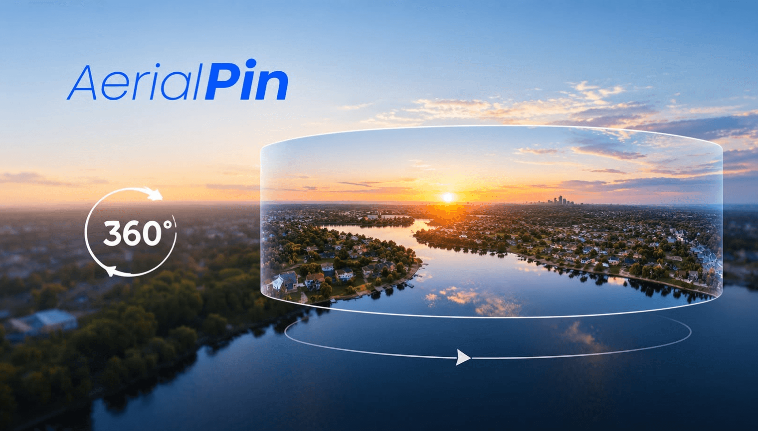
One of the biggest advantages of an aerial 360 image is the amount of surrounding area it can show.
Adding nearby locations can make that information much easier for viewers to understand.
What Nearby Locations Should You Add?
For real estate marketing, useful locations can include:
- Schools
- Parks
- Shops
- Roads
- Public transport
- Beaches
- Sporting facilities
- Shopping centres
The right locations depend on the property and its surroundings.
Find Nearby Locations
AerialPin Nearby Search can help find nearby locations for aerial photo annotation.
You can then use those locations when creating your 360 panorama annotations.
Use AI to Help
AerialPin AI Auto Place can help automatically place relevant nearby locations on supported aerial images using GPS and camera information.
You can review the results before using the finished image.
Add the Locations to Your 360 Image
Once you've identified the relevant places, add markers or labels to your panorama.
Keep the number of locations under control so the 360 view doesn't become cluttered.
Final Thoughts
Adding nearby locations gives viewers a better understanding of what's around a property and can make a 360 aerial image much more useful for property marketing.