
How to Add Points of Interest to 360 Images
Learn how to add points of interest to 360 images and highlight important locations such as parks, schools, shops, roads and other property amenities.
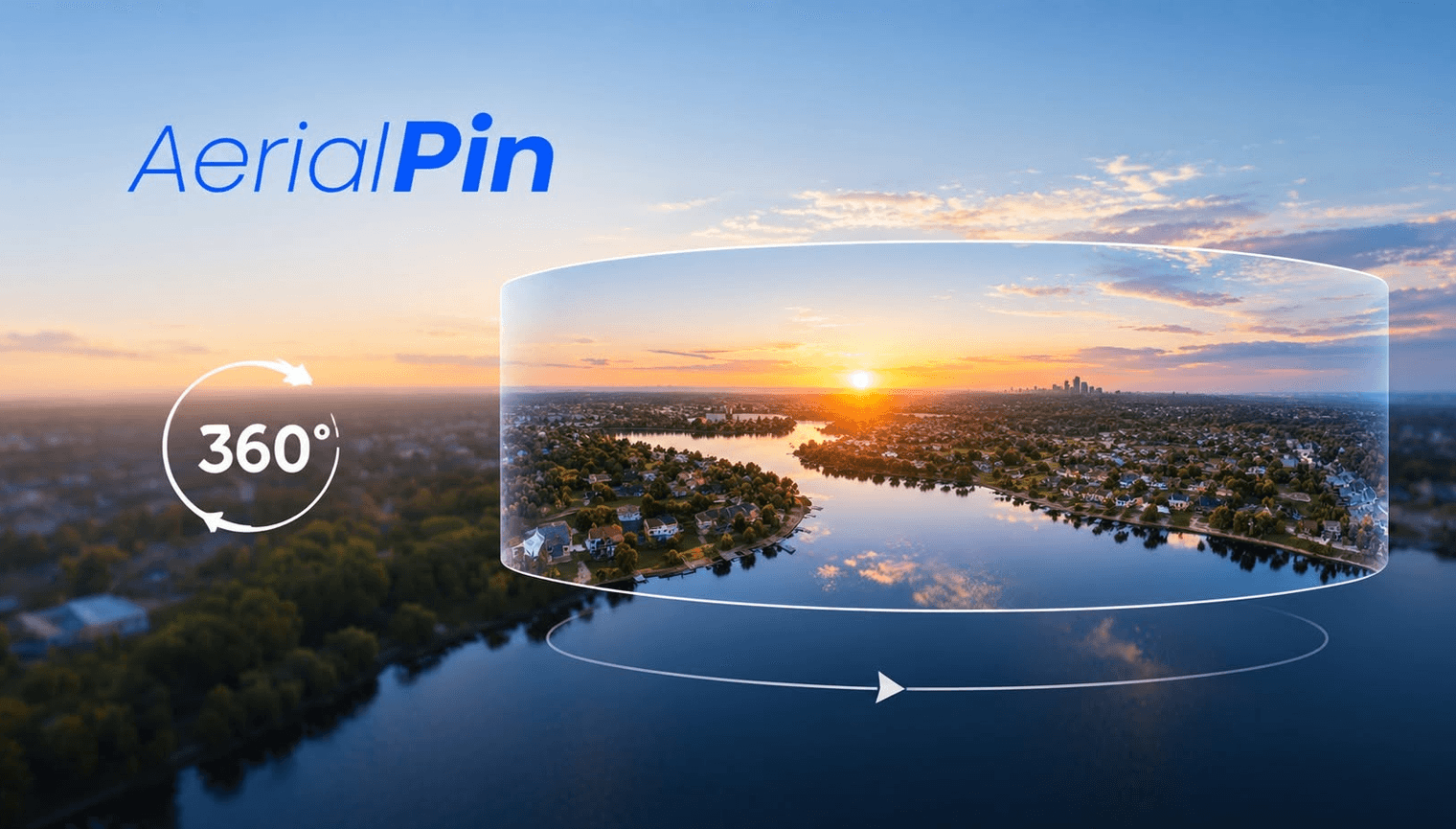
Points of interest can provide useful context around a property.
When working with a 360 aerial image, you can use markers and labels to identify locations that viewers may want to know about.
Examples of Points of Interest
Common examples include:
- Parks
- Schools
- Shops
- Roads
- Beaches
- Train stations
- Sporting facilities
- Shopping centres
Finding Points of Interest
AerialPin Nearby Search can help identify nearby places around aerial imagery.
AerialPin AI Auto Place can also help automatically place relevant nearby locations on supported aerial images.
Add Them to Your 360 Image
Once you've identified useful locations, add a marker and label for each one.
Avoid adding every nearby business or landmark.
Choose locations that are genuinely relevant to the property.
Real Estate Marketing
Points of interest can help buyers understand the location without switching between the property listing and another map.
A 360 aerial image with a few carefully selected locations can provide a quick overview of the surrounding area.
Final Thoughts
Adding points of interest is a practical way to give 360 aerial images more context, particularly for property and development marketing.