
How to Add Property Boundaries to 360 Images
Learn how to add property boundaries to 360 images and aerial panoramas. See how boundary overlays can help real estate agents, drone photographers, developers and land sellers explain properties and development sites.
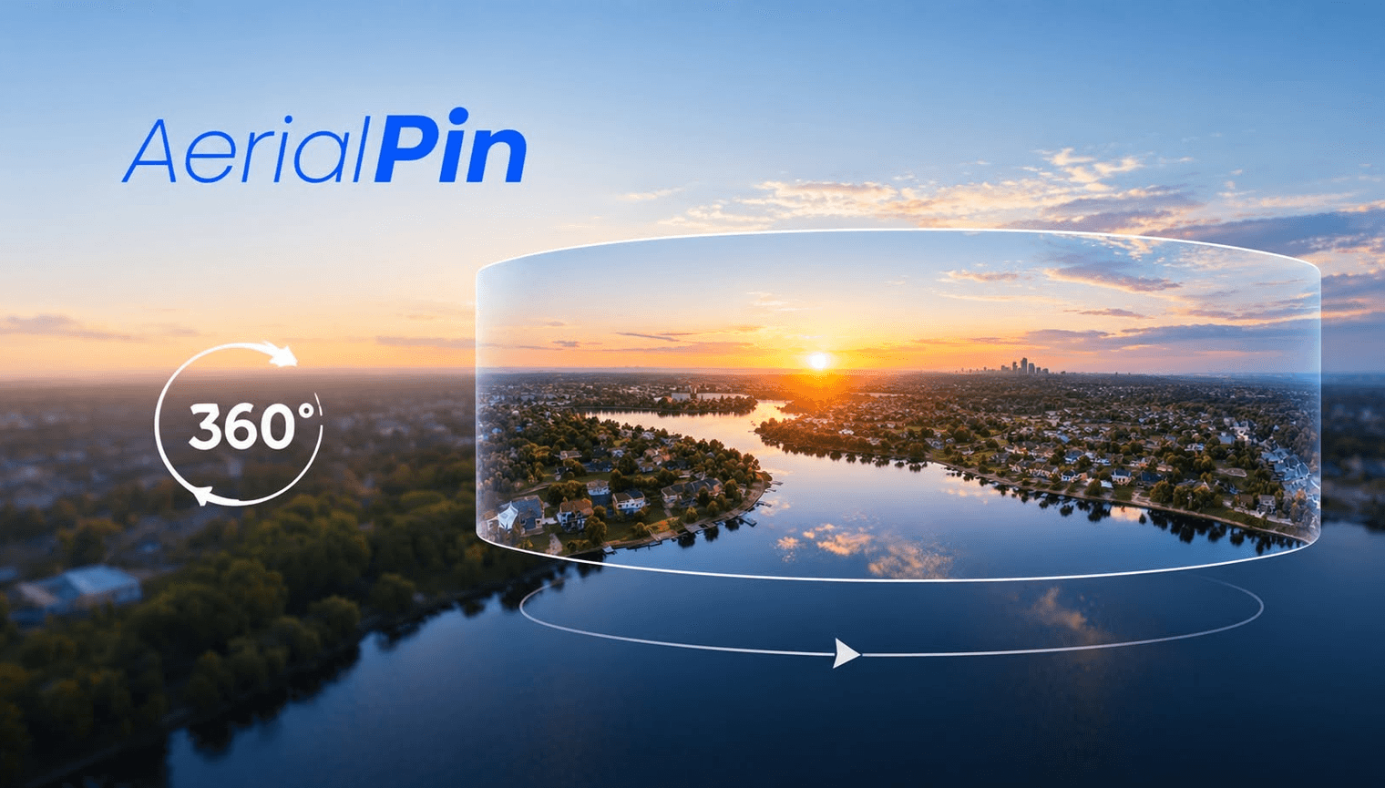
A 360 image gives viewers a much wider view of a property and its surroundings. But when you're marketing land, developments or large properties, viewers may still need help understanding exactly where the property begins and ends.
Adding a property boundary to a 360 image can make the image much easier to understand.
Why Add Property Boundaries to 360 Images?
Aerial 360 panoramas can show a large amount of surrounding land. A boundary overlay helps identify the area you're actually referring to.
This can be useful for:
- Residential properties
- Acreage
- Development sites
- Vacant land
- Subdivisions
- Commercial properties
- Large rural properties
A clear boundary can help viewers understand the relationship between the property and its surroundings.
How to Add a Boundary to a 360 Image
Start by opening your 360 panorama in a 360 image annotation tool.
Import the appropriate boundary data and position the overlay so it matches the property.
You can then add additional information such as text, location pins or measurements.
AerialPin provides a browser-based workflow for annotating aerial photography and also supports 360 panorama annotation in its beta 360 feature.
Use Accurate Boundary Data
It's important to use the correct source for property boundaries.
Drone GPS coordinates are not automatically legal property boundaries. If the boundary is being used for property marketing, use appropriate cadastral, survey or GIS data.
For anything legally or professionally significant, verify the boundary with the relevant authoritative source.
Add Other Information
Once the boundary is in place, you can add:
- Location pins
- Text
- Distance measurements
- Nearby points of interest
- Development labels
This can turn a basic 360 aerial image into a much more informative property graphic.
Final Thoughts
Adding property boundaries to 360 images is useful when viewers need to understand the size and position of a property.
For real estate and development marketing, combining a boundary with other annotations can provide much more context than a standard 360 image alone.