
How to Add Text to 360 Panorama Images
Learn how to add text to 360 panorama images and use labels to identify properties, roads, landmarks, developments and nearby locations.
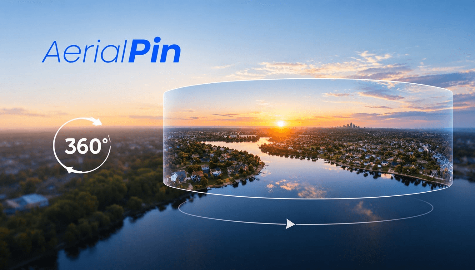
Adding text to a 360 panorama can make an interactive aerial image much easier to understand.
Instead of asking viewers to work out what they're looking at, you can identify important areas directly within the panorama.
What Can You Label?
Text can be used to identify:
- Roads
- Parks
- Schools
- Properties
- Development sites
- Access points
- Buildings
- Land parcels
- Nearby amenities
Keep labels short and easy to read.
How to Add Text
Open your 360 panorama in an annotation tool and select the text tool.
Place your label at the relevant location and adjust its position so it doesn't interfere with important parts of the panorama.
AerialPin supports 360 panorama annotation in its beta workflow, allowing you to work with stitched aerial panoramas and add information to them.
Keep Text Simple
360 images already contain a lot of visual information.
Avoid filling the panorama with large blocks of text.
Short labels such as:
PARK
MAIN ROAD
SITE
SCHOOL
are often enough.
Combine Text With Pins
Text can also be combined with location pins and measurements.
For example:
📍 LOCAL PARK
700 m TO SHOPS
SITE BOUNDARY
This can create a much more informative property presentation.
Final Thoughts
Text is one of the simplest ways to add context to a 360 panorama.
For real estate, land and development photography, a few well-placed labels can make an interactive aerial image much easier to understand.