
How to Annotate 360 Aerial Images Online
Learn how to annotate 360 aerial images online without installing traditional desktop software. Add labels, locations, measurements and property information directly in your browser.
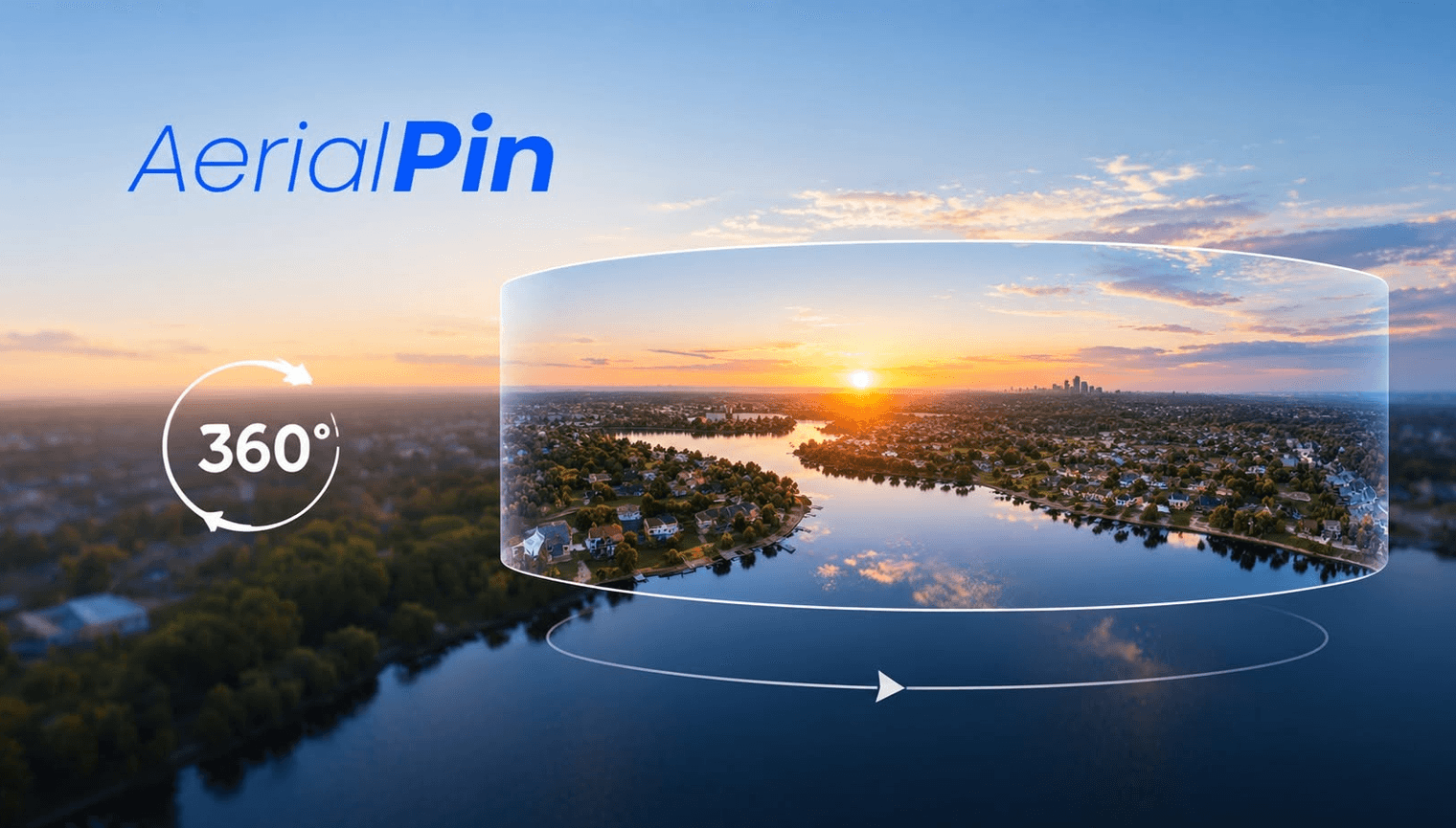
Browser-based tools make it easier to work with aerial photography without installing specialist desktop software.
This can also apply to 360 aerial images.
What Can You Add?
An online 360 annotation workflow can be used to add:
- Text
- Labels
- Location pins
- Measurements
- Property boundaries
- Points of interest
Why Use a Browser?
A browser-based workflow can make it easier to access your projects from different computers and avoid installing additional software.
AerialPin is browser-based and includes a beta workflow for creating and annotating 360 panoramas from drone images.
A Simple Workflow
- Upload your drone images
- Stitch them into a panorama
- Open the 360 viewer
- Add annotations
- Review the image
- Export your finished work
For Real Estate Photography
This can be useful for photographers and drone operators who regularly create aerial property marketing content.
You can combine 360 panoramas with standard annotated aerial photographs for a more complete property presentation.
Final Thoughts
Online 360 annotation tools provide a simple way to work with interactive aerial photography while keeping the workflow in your browser.