
How to Annotate 360 Images with AerialPin
Learn how to annotate 360 images with AerialPin. Stitch multiple drone photos into a 360 panorama, edit your image and add pins, locations and annotations directly in your browser.
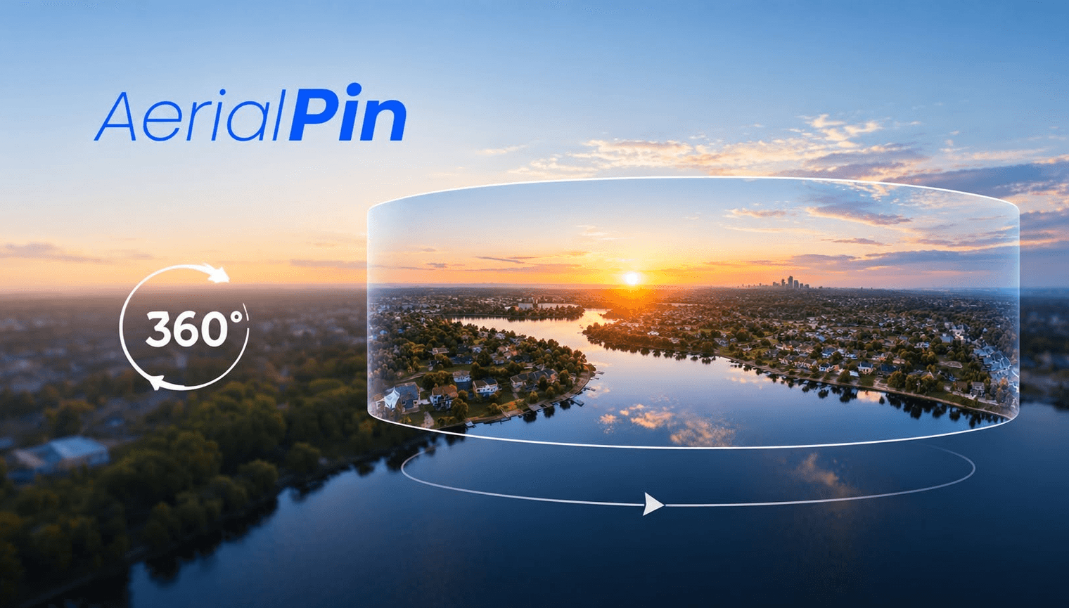
Want to learn how to annotate 360 images? AerialPin makes it easy to stitch, edit and annotate 360 panoramas directly in your browser.
If you've captured multiple drone photos, you can upload them to AerialPin and stitch multiple images into a 360 panorama. Once your panorama is created, you can open it in the interactive 360 viewer and start adding annotations.
Stitch Multiple Photos Into a 360 Panorama
Instead of manually combining your drone photos, AerialPin can stitch your images together into a panoramic image.
Once stitched, you can view the panorama interactively and look around the entire scene.
Edit Your 360 Panorama
After creating your panorama, you can work with it directly in AerialPin's browser-based workflow. This makes it easy to prepare your 360 image without constantly switching between different applications.
Annotate Your 360 Image
Once your panorama is ready, you can add useful annotations to highlight important areas such as:
- Property boundaries
- Locations
- Points of interest
- Roads
- Buildings
- Landmarks
- Custom pins
This is particularly useful for real estate photography, drone photography and property marketing, where showing the surrounding area can be just as important as showing the property itself.
Create Interactive 360 Aerial Imagery
AerialPin brings 360 panorama stitching, editing and annotation into one browser-based workflow.
Upload your drone photos, stitch your panorama, annotate the important locations and share the finished interactive 360 experience.