
How to Edit 360 Panoramas
Learn how to edit 360 panoramas using a browser-based workflow. Stitch multiple drone photos into a panorama, view your 360 image interactively and add pins, property boundaries and locations with AerialPin.
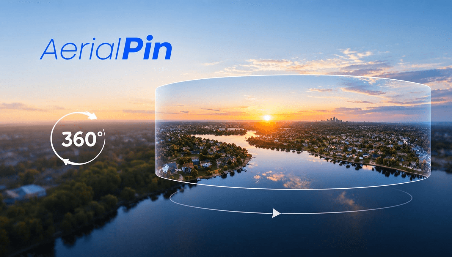
Editing a 360 panorama is a little different from editing a standard photo. Instead of working with a single viewpoint, you are working with a full panoramic image that can be viewed in every direction.
For drone photographers, real estate photographers and property marketers, 360 panoramas can be useful for showing a property, surrounding land and nearby features in a single interactive view.
How to Edit a 360 Panorama
1. Stitch your photos together
Start with multiple overlapping photos captured from the same location. These images can be stitched together to create one panoramic image.
With AerialPin, you can upload multiple drone images and stitch them into a panorama directly in your browser.
2. View the panorama
Once your panorama has been created, use the interactive 360 viewer to look around the image and check the result.
This makes it easier to spot stitching issues and see how the panorama looks from different angles.
3. Add annotations
One of the most useful parts of editing a 360 panorama for property work is being able to add information directly to the image.
You can use AerialPin to add things such as:
- Property boundaries
- Location pins
- Roads
- Buildings
- Parks
- Points of interest
- Development areas
- Nearby locations
- Custom annotations
This can turn a basic 360 panorama into a more useful visual reference for real estate and property projects.
Editing 360 Panoramas in Your Browser
Traditional panorama software often requires downloading and installing desktop software.
AerialPin provides a browser-based workflow, allowing you to upload your drone images, stitch them into a panorama, view the result in an interactive 360 viewer and annotate the finished panorama.
The basic workflow is:
Capture → Upload → Stitch → View → Annotate
Why Edit 360 Panoramas?
A standard aerial photo only shows one perspective. A 360 panorama can provide a much wider view of the property and its surroundings.
For real estate and drone photography, this can be useful for showing:
- Large blocks of land
- Property surroundings
- Development sites
- Roads and access points
- Nearby buildings and landmarks
- Residential developments
- Rural properties
Edit 360 Panoramas with AerialPin
AerialPin combines panorama stitching and 360 annotation into one browser-based workflow. Upload your drone photos, create a panorama, view it interactively and add the information you need directly to the image.
Try AerialPin: https://aerialpin.com