
How to Make a 360 Photo From Multiple Photos
Learn how to make a 360 photo from multiple photos using AerialPin. Stitch overlapping drone images into a 360 panorama, edit the result and add annotations, locations and property boundaries directly in your browser.
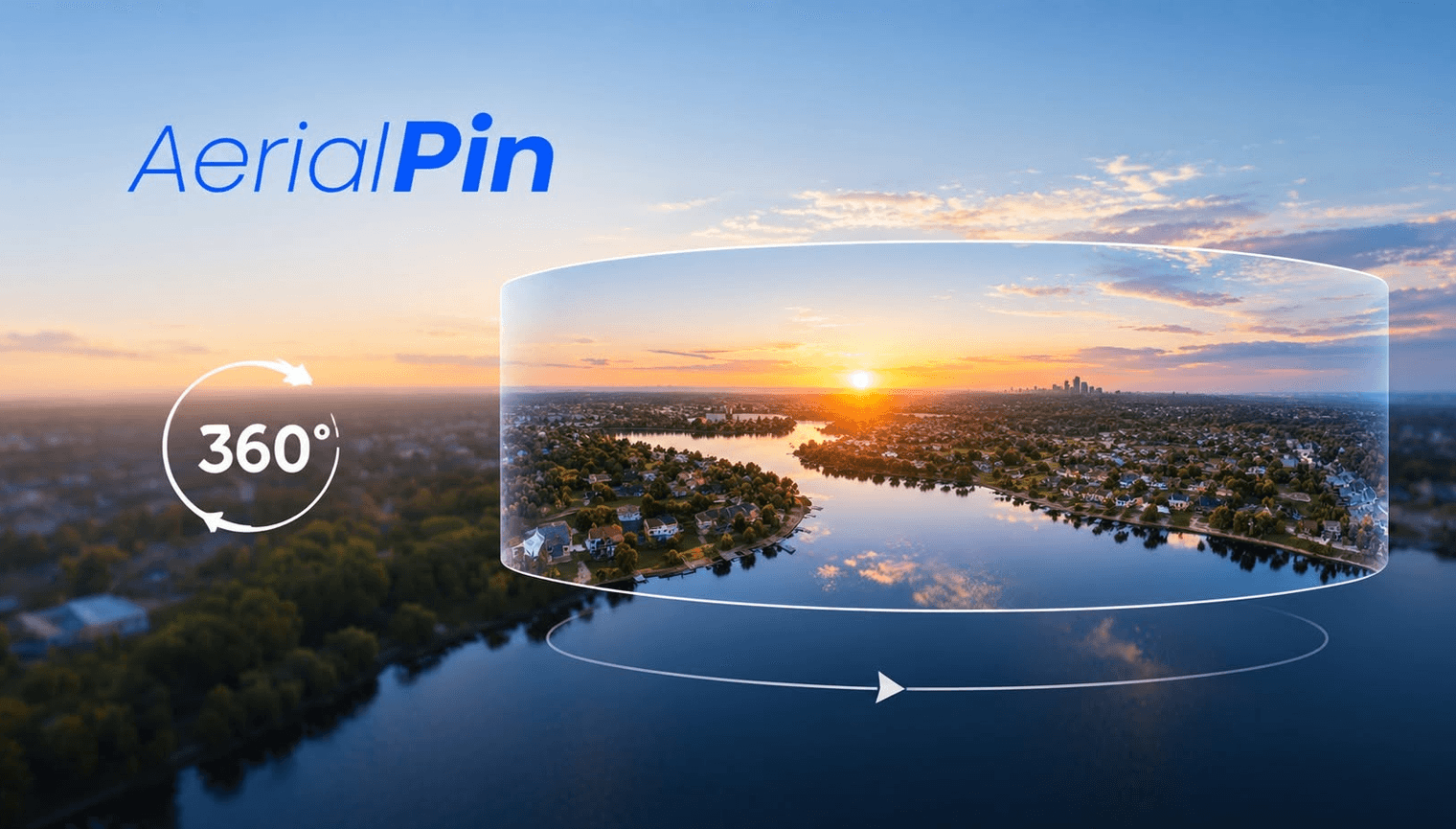
Want to know how to make a 360 photo from multiple photos? You can turn a series of overlapping images into one 360 panorama using panorama stitching software such as AerialPin.
This is particularly useful for drone photography, real estate photography, property marketing and aerial imagery, where you want to show an entire location instead of a single view.
1. Capture Multiple Overlapping Photos
Start by taking a series of photos from the same general location while rotating the camera or drone.
Make sure each photo overlaps with the next one. Consistent exposure, focus and camera settings can also help produce a cleaner panorama.
For drone 360 photography, capture enough images to cover the full area you want to include in the panorama.
2. Upload Your Photos to AerialPin
Once you have your images, upload them to AerialPin's panorama workflow.
AerialPin can stitch multiple photos together into a panorama, combining the individual images into one wider 360 image.
This saves you from manually positioning and combining every photograph yourself.
3. Create and Edit Your 360 Panorama
After the images have been stitched, you can view the result in AerialPin's interactive 360 panorama viewer.
You can look around the complete scene, check the stitching and work with the finished panorama before adding your annotations.
Because AerialPin is browser-based, you can work with your panorama directly online without constantly switching between different applications.
4. Annotate Your 360 Image
Once your 360 panorama is ready, you can take it further by adding annotations.
For real estate and aerial photography, you could highlight:
- Property boundaries
- Roads
- Buildings
- Parks
- Points of interest
- Development areas
- Nearby locations
- Custom pins
This can turn a simple 360 photograph into a more informative interactive aerial image.
Why Make a 360 Photo From Multiple Images?
A 360 panorama gives you a much wider view of a location than a standard photograph.
For real estate photographers and drone operators, this can be useful for showing properties, development sites, surrounding areas and important points of interest.
Instead of working with dozens of separate photographs, you can combine them into one panoramic image and then work with the completed 360 view.
Create a 360 Panorama With AerialPin
AerialPin brings panorama stitching, 360 viewing and annotation into one browser-based workflow.
The process is simple:
Capture → Upload → Stitch → Edit → Annotate
Whether you're creating aerial imagery for a property, development site or another project, AerialPin gives you a simple way to turn multiple photographs into a 360 panorama.
Create 360 panoramas from your drone photos and work with them directly in your browser.