
Interactive 360 Aerial Maps for Real Estate
Discover how interactive 360 aerial maps can improve real estate marketing. Use AerialPin to stitch drone photos into 360 panoramas and add property boundaries, locations, pins and points of interest.
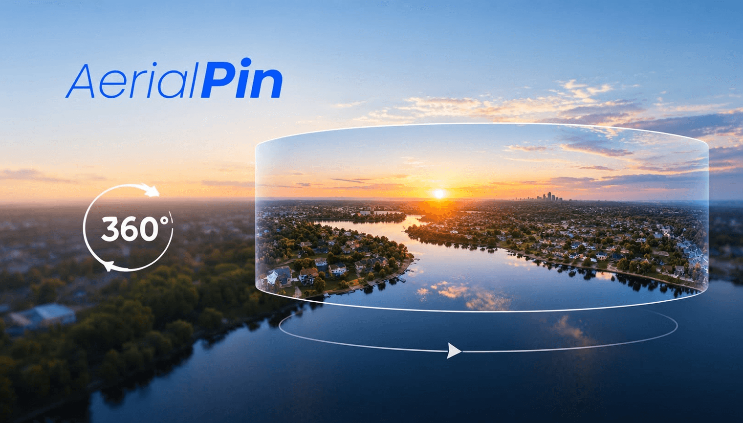
Interactive 360 aerial maps for real estate are a great way to give buyers, agents and property developers a better view of a property and its surrounding area.
Instead of showing a single aerial photograph, a 360 panorama lets viewers look around the entire scene. You can capture multiple drone photos, stitch them into a 360 panorama and then add useful annotations to highlight important locations.
Create 360 Aerial Maps With AerialPin
AerialPin makes it easy to work with 360 aerial photography directly in your browser.
Upload multiple drone images and stitch them together into a panoramic image. Once the panorama is created, you can view it interactively and work with the 360 image.
You can also add annotations to highlight things such as:
- Property boundaries
- Roads
- Nearby locations
- Buildings
- Parks
- Points of interest
- Development areas
- Custom pins
This makes an interactive 360 aerial image more useful for real estate marketing, property development and drone photography.
Why Use 360 Aerial Imagery for Real Estate?
A standard aerial photo gives buyers one perspective. An interactive 360 panorama allows them to look around the surrounding area themselves.
For example, a 360 aerial panorama can help show the relationship between a property and nearby roads, parks, buildings and other points of interest.
For real estate photographers and drone operators, it provides another way to present aerial imagery beyond traditional property photos.
A Simple 360 Real Estate Workflow
With AerialPin, the workflow is straightforward:
Capture → Upload → Stitch → View → Annotate
You can turn multiple drone photographs into an interactive 360 panorama and add information directly to the scene.
Whether you're photographing a residential property, development site or vacant block, 360 aerial maps for real estate can provide a more detailed view of the surrounding environment.