
Photoshop vs AerialPin: Which Is Better for Annotating Real Estate Drone Photos?
Compare Photoshop vs AerialPin for annotating real estate drone photos. Discover the differences in property boundaries, location pins, GPS data and automatic annotations.
Photoshop is one of the most popular tools for editing photographs. It gives photographers extensive control over images, graphics, layers and design.
But when it comes to annotating aerial property photographs, there may be a more specialised option.
If you're a real estate photographer, drone operator or property marketer, you might regularly need to add property boundaries, location pins, nearby amenities and distance measurements to your images.
You can do all of this manually in Photoshop, but it can involve a lot of repetitive work.
That's where AerialPin comes in.
AerialPin is an online aerial photo annotation platform designed specifically for turning drone photographs into informative real estate marketing images.
So, which one should you use?
Let's compare them.
1. What is Photoshop?
Adobe Photoshop is a professional image editing application used by photographers, designers and creative professionals.
It offers tools for manipulating images, creating graphics, adding text, working with layers and making detailed visual adjustments.
For aerial property photography, Photoshop can be used to:
-
Draw property boundary outlines.
-
Add custom location pins.
-
Create text labels.
-
Highlight important areas.
-
Add distance graphics.
-
Adjust colours and image appearance.
-
Create custom property marketing designs.
The main advantage of Photoshop is flexibility. You can design almost anything if you're comfortable using its tools.
However, most aerial annotation tasks need to be created and positioned manually.
Official website: https://www.adobe.com/products/photoshop.html
2. What is AerialPin?
AerialPin is an online tool built specifically for aerial image annotation and property marketing.
Instead of starting with a blank design, you upload a drone photograph and work with tools designed around common real estate photography tasks.
AerialPin includes:
-
AI Auto Place for automatic location pin placement.
-
Nearby Search for finding nearby amenities.
-
Property boundary drawing.
-
Custom location pins and labels.
-
Distance measurements and boundary area calculations.
-
GPS and EXIF metadata information.
-
Reusable annotation styles.
-
AI Relight for changing the lighting and sky appearance.
-
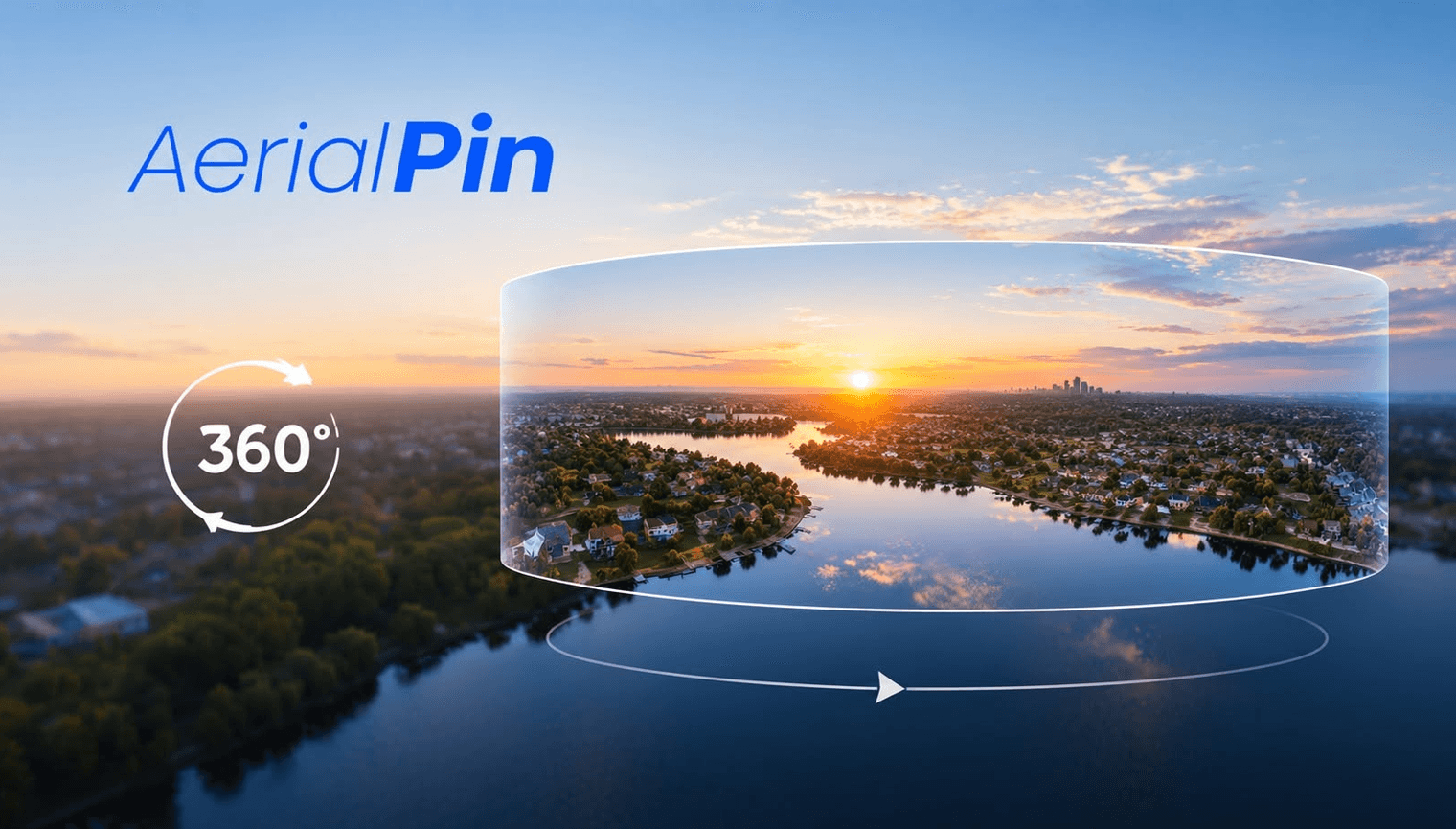
360-degree aerial panorama stitching and annotation.
The aim is to make it easier to create professional aerial property marketing images without manually building every graphic from scratch.
Website: https://www.aerialpin.com/
3. Photoshop vs AerialPin: Feature comparison
| Feature | Photoshop | AerialPin |
|---|---|---|
| General photo editing | Yes | Not its main purpose |
| Advanced retouching | Yes | No |
| Add text and labels | Yes | Yes |
| Draw property boundaries | Manual | Built-in tools |
| Custom location pins | Manual design | Built-in tools |
| Nearby place search | Not a core feature | Yes |
| GPS and EXIF workflows | Metadata inspection and editing | Built for aerial GPS workflows |
| Automatic pin placement | Not a core feature | Yes |
| Distance annotations | Manual graphics | Measurement tools |
| Reusable annotation styles | Templates and actions | Saved annotation styles |
| AI sky and lighting changes | Yes, with Photoshop tools | AI Relight |
| 360 aerial panorama annotation | Not its core workflow | Yes |
| Browser-based editor | Photoshop on the web is available, but not a dedicated aerial workflow | Yes |
The biggest difference is the purpose of each platform.
Photoshop is designed for general image editing. AerialPin is designed around the specific tasks involved in annotating aerial property photographs.
4. Adding property boundaries
Property boundaries are particularly important when marketing vacant land, acreage and development sites.
Using Photoshop
In Photoshop, you can create a boundary using shape tools, pen paths and layers.
You can customise the line colour, thickness, transparency and appearance.
The process gives you plenty of creative control, but you need to manually create and position the boundary.
Using AerialPin
AerialPin includes a dedicated property boundary tool.
You can click points directly onto your aerial photograph to draw a boundary, adjust the shape and customise its appearance.
You can also use fill, stroke and spotlight effects, display individual edge lengths and calculate the area of the drawn shape.
This makes it useful for photographers who regularly prepare aerial marketing images for land listings.
Important: Neither a Photoshop outline nor a manually drawn AerialPin boundary automatically establishes a legal property boundary. Use verified cadastral or survey information when accuracy matters.
5. Adding nearby schools, parks and shopping centres
Location is a major part of real estate marketing.
Buyers often want to know what is around a property, including schools, parks, shopping centres, transport and other local amenities.
Using Photoshop
You can create your own location pins, labels and distance graphics in Photoshop.
However, you need to research the nearby locations yourself and manually create and position each annotation.
Using AerialPin
AerialPin includes Nearby Search, which can find points of interest around the location of your aerial photograph.
You can search for categories such as:
-
Schools and universities.
-
Shopping centres and supermarkets.
-
Parks and recreation.
-
Public transport.
-
Medical facilities.
-
Cafes and other local amenities.
You can choose which locations to include, customise their labels and position them on your aerial image.
Explore Nearby Search: https://www.aerialpin.com/tools/nearby-search
6. Automatically placing location pins
This is one of the biggest differences between the two tools.
With Photoshop, you need to manually create and position your location graphics.
AerialPin offers AI Auto Place, which uses information stored in compatible drone photographs to help position nearby locations.
It can use:
-
GPS coordinates.
-
Camera altitude.
-
Compass heading.
-
Gimbal angle.
Using these details, AerialPin calculates where nearby places may appear within the photograph.
You can choose how many pins to place, select relevant categories and review the results before exporting.
The pins can also be adjusted manually.
For best results, use original drone photographs containing the required metadata. If important information is missing, automatic placement may not be available for that image.
Learn more: https://www.aerialpin.com/tools/ai-auto-place
7. Customising the appearance of annotations
A professional aerial image should be clear, consistent and easy to understand.
Photoshop
Photoshop gives you extensive creative control over graphics, fonts, colours, shapes and effects.
You can create completely custom designs and save reusable templates or actions.
AerialPin
AerialPin includes annotation styling options for:
-
Pin shapes and colours.
-
Label typography.
-
Text sizes.
-
Borders and backgrounds.
-
Leader lines.
-
Boundary colours.
-
Spacing and layout.
You can save styles as templates and reuse them across future property images.
This is particularly useful for photographers working with multiple real estate agents who want consistent branding.
Explore Styles: https://www.aerialpin.com/tools/styles
8. Which tool saves more time?
The answer depends on the type of work you're doing.
If you're retouching photographs, removing objects, adjusting exposure or creating complex visual designs, Photoshop is the more appropriate tool.
If you're repeatedly adding property boundaries, nearby amenities, location pins and measurements to aerial property photographs, AerialPin provides a more specialised workflow.
For example, imagine preparing an aerial image for a property listing.
With a manual Photoshop workflow, you may need to:
-
Open the photograph.
-
Create boundary graphics.
-
Research nearby locations.
-
Design location pins.
-
Add text labels.
-
Position each graphic.
-
Add measurements.
-
Export the final image.
With AerialPin, several of these tasks can be completed using dedicated annotation tools.
The actual time saved will depend on the image, available metadata and the amount of customisation required.
9. Can you use Photoshop and AerialPin together?
Absolutely.
You don't necessarily need to choose one over the other.
AerialPin can be used to add location-based annotations, property boundaries and measurements.
Photoshop can then be used for additional image editing, retouching, colour adjustments or more complex creative work.
For photographers who already use Photoshop, AerialPin can complement their existing workflow rather than replace it.
10. How much does AerialPin cost?
AerialPin offers a free starting plan, with paid subscriptions for users who need more credits.
Its plans are designed to accommodate different levels of aerial photography work, from occasional users to agencies producing images regularly.
Every paid plan includes the core annotation tools, with the available monthly credits increasing between plans.
You can see the latest plans and pricing here:
https://www.aerialpin.com/pricing
Final verdict: Photoshop or AerialPin?
Both tools have their place in professional photography.
Photoshop is an excellent choice for advanced photo editing, retouching and creative design.
AerialPin is built for a different purpose: making aerial property photographs more informative through location pins, property boundaries, nearby amenities, measurements and automatic annotation workflows.
If you're a real estate photographer or drone operator who regularly prepares aerial marketing images, AerialPin is worth trying.
You can start with 10 free credits and explore the tools without entering a credit card.
Try AerialPin for free: https://www.aerialpin.com/
Frequently asked questions
Is AerialPin better than Photoshop?
For dedicated aerial property annotation tasks, AerialPin offers specialised tools that Photoshop does not provide as a built-in workflow. Photoshop remains more capable for general photo editing and advanced creative work.
Can I add property boundaries in Photoshop?
Yes. You can use Photoshop's shape and pen tools to manually draw boundary outlines. You will need to position them yourself and use reliable property information to establish the correct outline.
Can Photoshop automatically find nearby schools and parks?
Finding and placing nearby amenities is not a core Photoshop workflow. AerialPin offers Nearby Search to find relevant points of interest around an aerial photograph's location.
Can AerialPin automatically place location pins?
Yes. Its AI Auto Place feature uses GPS and supported camera metadata from compatible drone photographs to estimate where nearby places appear in the image.
Does AerialPin replace Photoshop?
No. AerialPin is a specialised aerial annotation platform, not a complete replacement for professional image editing software. Both tools can complement each other.
Can I use AerialPin with DJI drone photos?
Yes. AerialPin supports compatible JPEG and DNG drone photographs and can use available GPS and camera metadata for its location-based workflows.
Can I use AerialPin for vacant land marketing?
Yes. You can draw property boundaries, add labels, highlight nearby amenities and display measurements to help communicate information about vacant land.
Is AerialPin free?
AerialPin offers a free plan with 10 starting credits. Additional credits and subscription plans are available for users who need them.
Ready to make more informative aerial property images?
Stop building every location pin and annotation from scratch.
Upload your drone photo, add property information and create a finished aerial marketing visual with AerialPin.