
Recommended Software for Editing Drone Photos
Looking for the best software to edit drone photos? From Lightroom and Photoshop to specialised tools like AerialPin, here are the options worth considering for photographers, especially if you're shooting real estate.
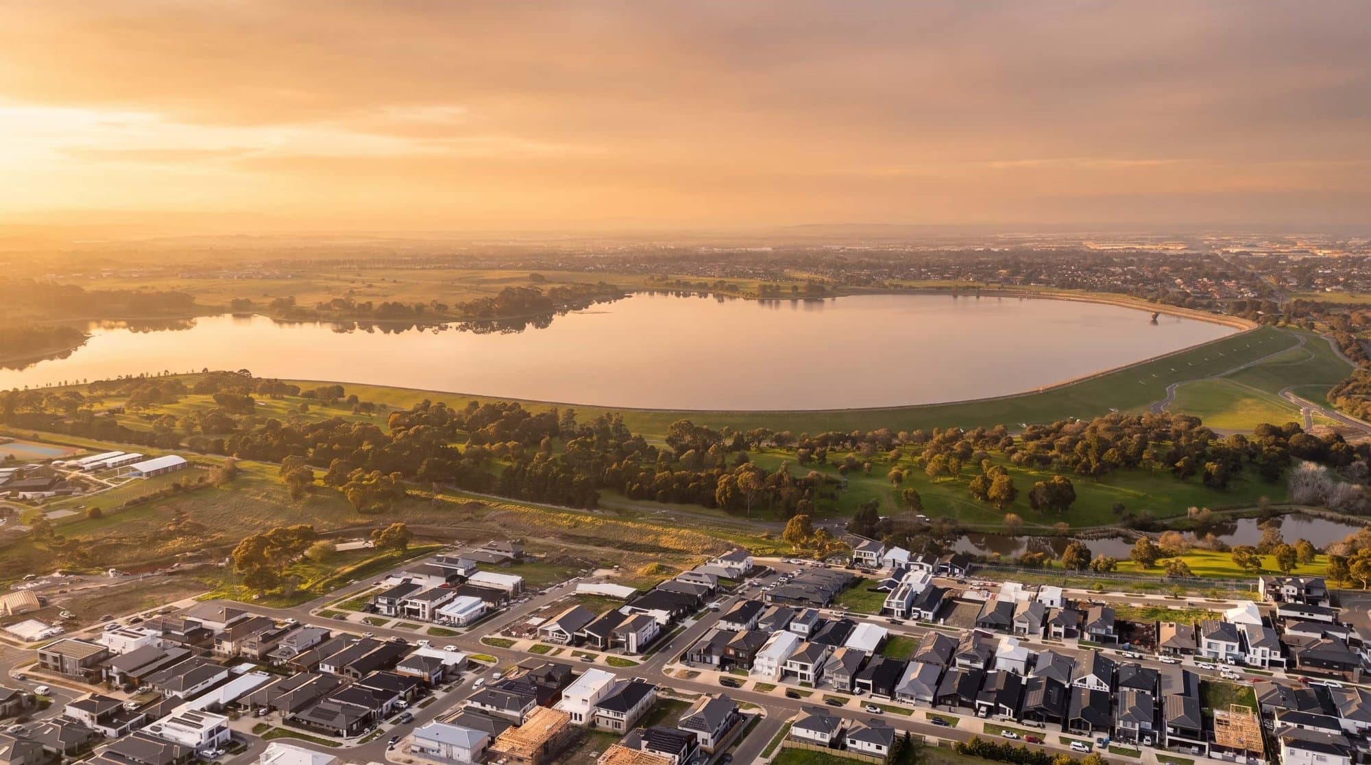
If you've just started shooting with a drone, one of the first things you'll notice is that the photo straight out of the camera rarely looks like the final image you see from professional photographers.
The good news is that you don't need a complicated editing setup to get great results.
The right software depends on what you're actually trying to do with your drone photos.
Lightroom Is Still a Great Starting Point
For most photographers, Adobe Lightroom is probably the easiest place to start.
It's particularly good for RAW and DNG files because you can quickly adjust exposure, highlights, shadows, white balance and colour without changing the original file.
It's also useful when you've photographed an entire property and have 20 or 30 images that need similar adjustments.
You can edit one photograph, copy the settings and apply them across the rest of the shoot.
That's one reason Lightroom remains popular among photographers. In recent drone photography discussions, users regularly recommend Lightroom for still photography, while using separate software for video.
Photoshop When You Need More Control
Lightroom is great for getting the overall photograph looking right.
Photoshop is where you go when you need to actually change things.
Removing objects, fixing distractions, creating composites, working with layers or making more complicated edits are all areas where Photoshop makes sense.
For drone photography, this could mean removing an unwanted object from a property, cleaning up a photograph or creating a more involved marketing graphic.
You don't necessarily need Photoshop for every drone photo, though. If you're mainly correcting colour and exposure, Lightroom will usually be quicker.
What About Free Options?
You don't have to spend a fortune to edit drone photos.
There are free RAW editors such as Darktable and RawTherapee, and GIMP is another option for more advanced image editing. Photographers on Reddit also frequently recommend these tools as alternatives to paid software.
The trade-off is usually the learning curve.
If you're new to photography editing, paying for software isn't necessarily a bad thing if it saves you hours trying to figure out a more complicated free program.
But Real Estate Drone Photography Needs Something Different
This is where things get interesting.
If you're shooting real estate, you may not just want to edit your drone photograph.
You may want to add information to it.
For example:
Where is the property boundary?
How far is the nearest park?
Where is the shopping centre?
Which school is nearby?
A normal photo editor isn't really designed for this.
You can certainly create all of these graphics in Photoshop, but you're manually drawing lines, searching for locations and positioning labels.
If you're doing this regularly, it gets repetitive.
AerialPin Is Built for This Part
AerialPin takes a different approach.
It's a specialised drone image annotation tool for aerial property photography.
Instead of replacing Lightroom or Photoshop, it works alongside them.
You can do your normal colour and exposure editing first, then use AerialPin to turn the finished aerial photograph into a marketing visual.
You can draw property boundaries, add labels, highlight the property and add nearby points of interest.
This is particularly useful for real estate photographers who want to offer something more than a standard aerial photograph.
The Part That Usually Takes the Most Time
Adding the actual line around a property isn't necessarily difficult.
The tedious part is everything around it.
You might have to:
- Find the property on a map
- Search for nearby amenities
- Work out which locations are visible
- Position pins manually
- Add labels
- Make everything fit
- Repeat the process for the next property
That's a lot of small jobs.
AerialPin's AI Auto Place is designed to automate much of this process. It reads information stored in compatible drone photos, including GPS position, altitude, compass heading and gimbal angle, then uses that information to determine which nearby places can actually appear in the photograph.
You can review the result and move anything that needs adjusting before exporting.
Keep Your Real Estate Images Consistent
If you're producing aerial images for multiple agents, consistency becomes important.
You don't want every listing to have a completely different font, pin style or boundary.
AerialPin's Styles feature lets you customise your annotation design and save it as a reusable template. You can control things such as pin appearance, typography, colours, borders, leader lines and spacing.
That means you can create one style that matches your photography business or an agency's branding and reuse it across future listings.
So Which Software Should You Use?
There's no reason to pick just one.
A good real estate drone photography workflow could look like this:
Lightroom → Edit the photograph
Photoshop → Handle advanced retouching when needed
AerialPin → Add property boundaries, locations and aerial annotations
Each program has a different job.
Lightroom makes the photograph look good.
Photoshop gives you detailed control.
AerialPin makes the aerial photograph more useful as a property marketing asset.
You Don't Need to Over-Edit Your Drone Photos
One mistake beginners often make is trying to make every drone photo look dramatic.
You don't need extreme HDR, oversaturated colours or heavy effects.
For real estate, natural usually wins.
The property should look like the property.
Get the exposure right, keep the colours realistic and make sure the photograph still represents what a buyer will actually see.
Then use annotations where they add genuine value.
A simple property boundary or a few relevant nearby locations can do more for a listing than a dozen unnecessary effects.
Final Thoughts
If you're just looking for a way to make your drone photos brighter and more colourful, start with Lightroom.
If you need advanced image manipulation, Photoshop is still one of the most capable options available.
But if you're a real estate photographer and want to turn aerial photography into professional marketing visuals, a specialised tool can make a lot of sense.
That's where AerialPin fits.
It's built around the things that are specific to aerial property photography: property boundaries, points of interest, labels, annotations and location-based visuals.
You don't have to replace your existing photo editor.
Just add AerialPin to the part of your workflow that turns a good drone photograph into a more useful real estate marketing image.
Try AerialPin and see what you can create with your next drone photo.