
Top 5 Best Tools to Annotate Drone Images in 2026
There are quite a few tools that can annotate, measure or analyse aerial imagery, but they serve very different purposes. For real estate photographers, the best option isn't necessarily the most advanced mapping platform. It's the tool that lets you quickly turn a drone photo into a clean, client-ready property marketing image.
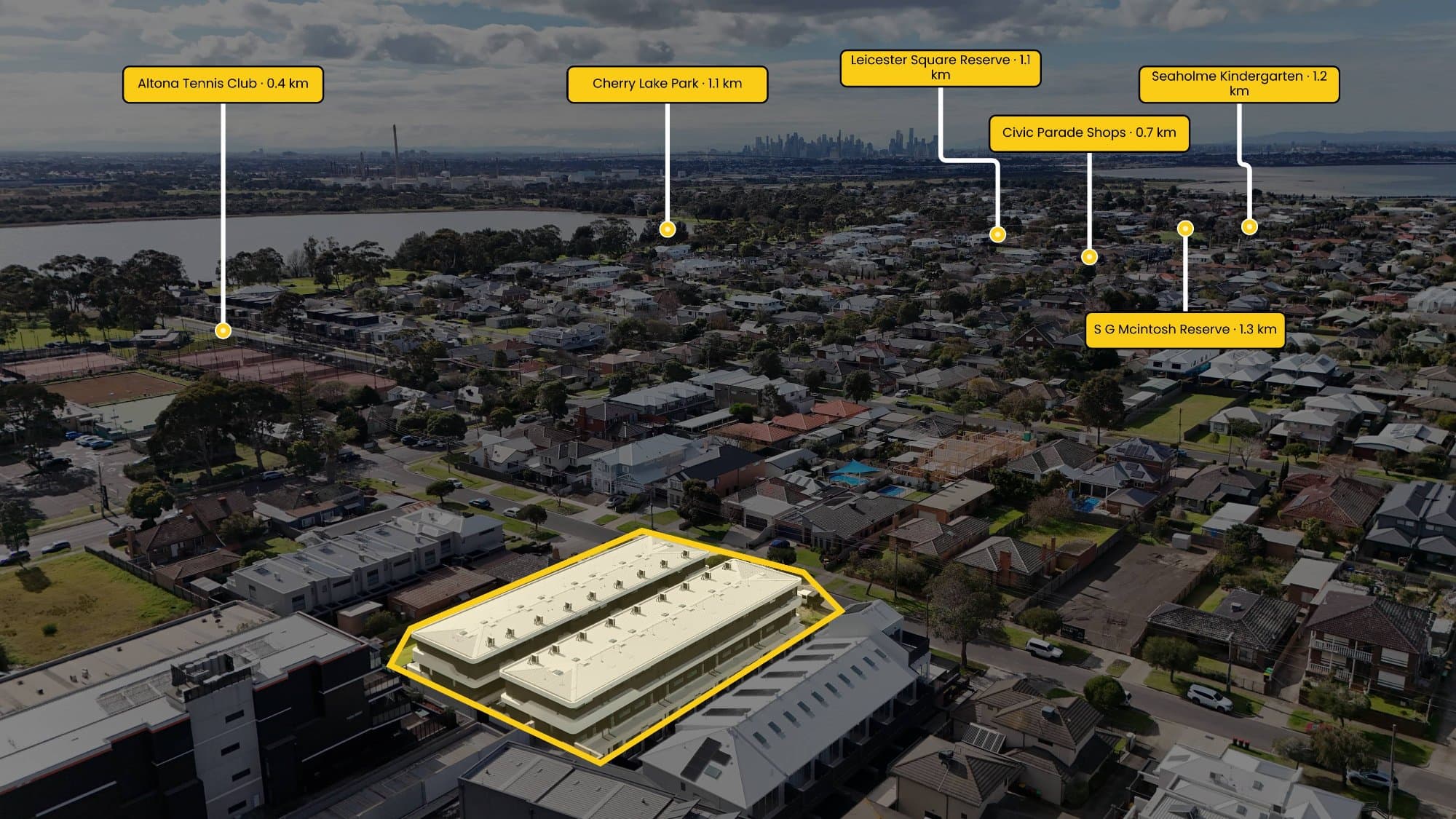
There are quite a few tools that can annotate, measure or analyse aerial imagery, but they serve very different purposes. For real estate photographers, the best option isn't necessarily the most advanced mapping platform. It's the tool that lets you quickly turn a drone photo into a clean, client-ready property marketing image.
1. AerialPin — Best for Real Estate Drone Photography
AerialPin is designed specifically around the real estate photography workflow.
It's suited to photographers who need to add things such as property boundaries, labels, points of interest and location information to aerial property photographs without building the graphic manually from scratch.
This makes it particularly useful when the goal is a polished marketing image rather than a full GIS or surveying workflow.
Best for: Real estate photographers, drone operators and property marketers.
2. AerialTrace — Best for Simple Property Boundary Annotation
AerialTrace focuses on annotating property photographs by allowing users to trace boundaries, add measurements and place pins before exporting the finished image.
Best for: Quick property boundary and measurement overlays.
3. Rasterly — Best for Professional Aerial Imagery Annotation
Rasterly is aimed more broadly at aerial and satellite imagery. It supports drawing points, lines and polygons, importing GeoJSON and exporting annotations to formats such as GeoJSON and CSV.
It's a better fit when you're dealing with larger geospatial datasets rather than simply preparing a property listing image.
Best for: Drone operators, GIS workflows and teams working with aerial datasets.
4. QGIS — Best Free GIS Option
QGIS is a powerful open-source GIS application with extensive tools and plugins for working with aerial and drone imagery.
The QGIS plugin ecosystem includes numerous tools specifically tagged for drone and UAV workflows, including AI segmentation and aerial-image processing plugins.
The downside is that QGIS has a much steeper learning curve than a purpose-built real estate annotation tool.
Best for: GIS professionals, mapping, surveying and advanced geospatial workflows.
5. DroneDeploy — Best for Drone Mapping and Measurements
DroneDeploy is primarily a drone mapping and property documentation platform rather than a simple image annotation tool.
It can produce aerial maps and 3D models, measurements and annotated records, and is used for property management and other professional workflows.
Best for: Property management, construction, inspections and professional drone mapping.