September 28, 2026
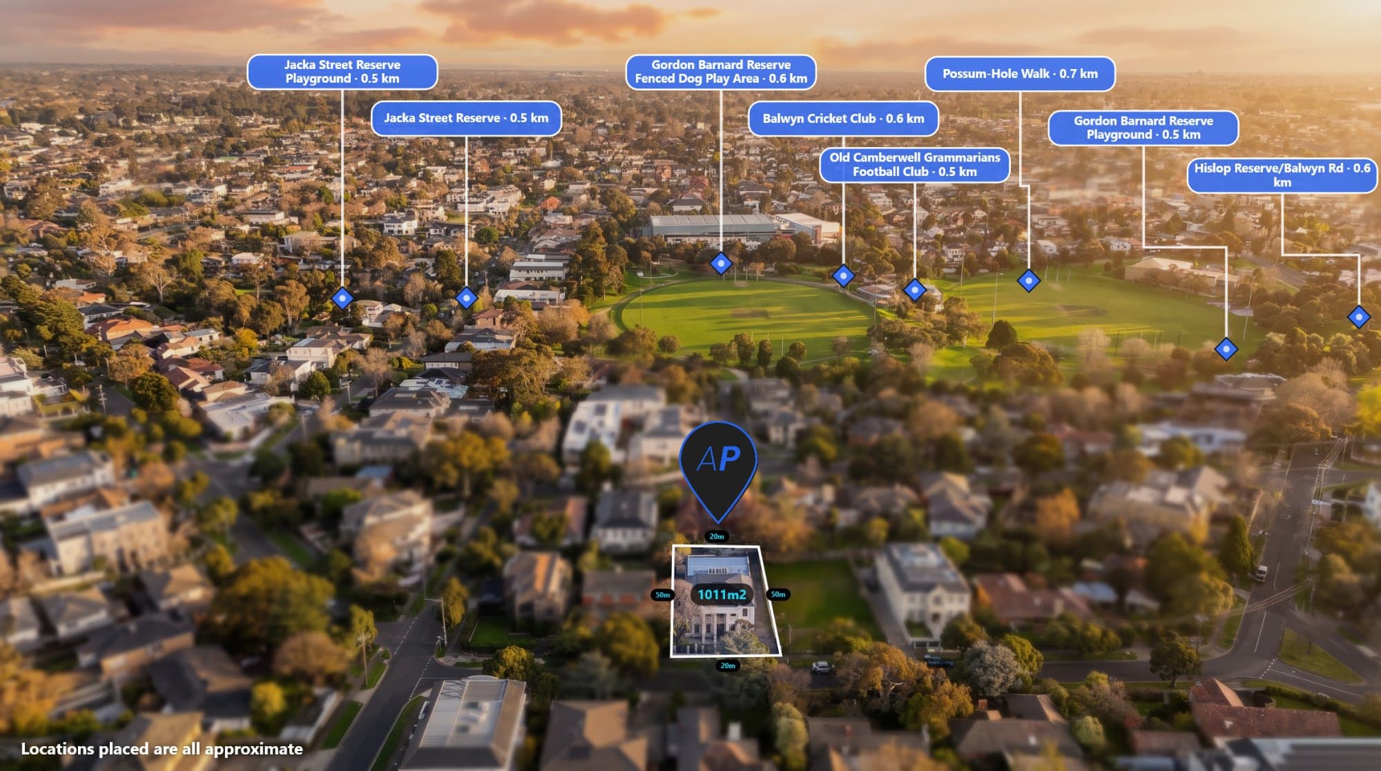
AerialPin is a browser-based drone photography tool for real estate photographers, drone operators and property marketers. Add location pins, property boundaries, measurements, labels and more to aerial images, while using AI tools to speed up your drone photo workflow.
By AerialPin Admin
September 25, 2026
Looking for the best browser based panorama software? Compare AerialPin, PTGui, Hugin, Lightroom and Affinity Photo for stitching photos, creating panoramas and working with 360 images online.
By AerialPin Admin
September 25, 2026
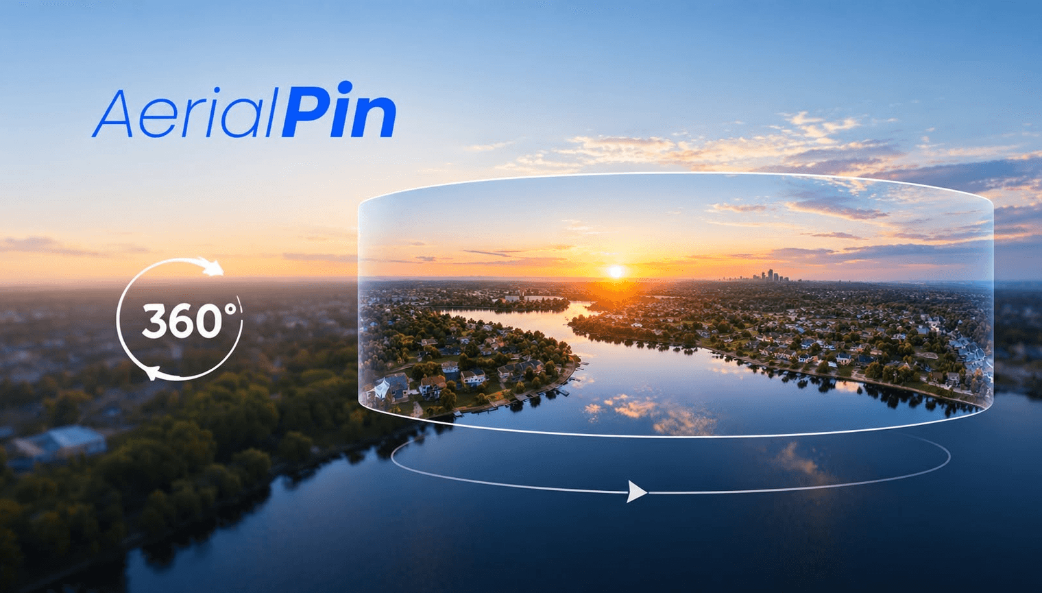
Learn how to edit 360 panoramas using a browser-based workflow. Stitch multiple drone photos into a panorama, view your 360 image interactively and add pins, property boundaries and locations with AerialPin.
By AerialPin Admin
September 25, 2026
Discover how interactive 360 aerial maps can improve real estate marketing. Use AerialPin to stitch drone photos into 360 panoramas and add property boundaries, locations, pins and points of interest.
By AerialPin Admin
September 25, 2026
Looking for browser based panorama software? Learn how AerialPin lets you stitch multiple photos into 360 panoramas, view your images interactively and add annotations directly in your browser.
By AerialPin Admin
September 25, 2026
Looking for the best panorama stitching software? Explore AerialPin, PTGui, Hugin, Adobe Lightroom and Affinity Photo for stitching multiple photos into panoramic and 360 images.
By AerialPin Admin
September 25, 2026
Learn how to make a 360 photo from multiple photos using AerialPin. Stitch overlapping drone images into a 360 panorama, edit the result and add annotations, locations and property boundaries directly in your browser.
By AerialPin Admin
September 25, 2026
Learn how to annotate 360 images with AerialPin. Stitch multiple drone photos into a 360 panorama, edit your image and add pins, locations and annotations directly in your browser.
By AerialPin Admin
September 24, 2026
Learn how to add interactive location pins to 360 images and turn your drone panoramas into more informative property marketing tools. See how AerialPin lets you annotate 360 panoramas with points of interest, property boundaries, nearby locations and custom information.
By AerialPin Admin
